World Map Layering
About this task
Procedure
-
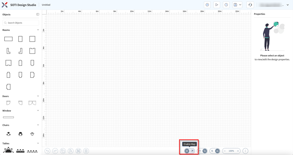
Enable the World Map Toggle at the bottom of the panel.
-
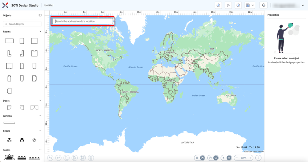
Search for the building location.
-
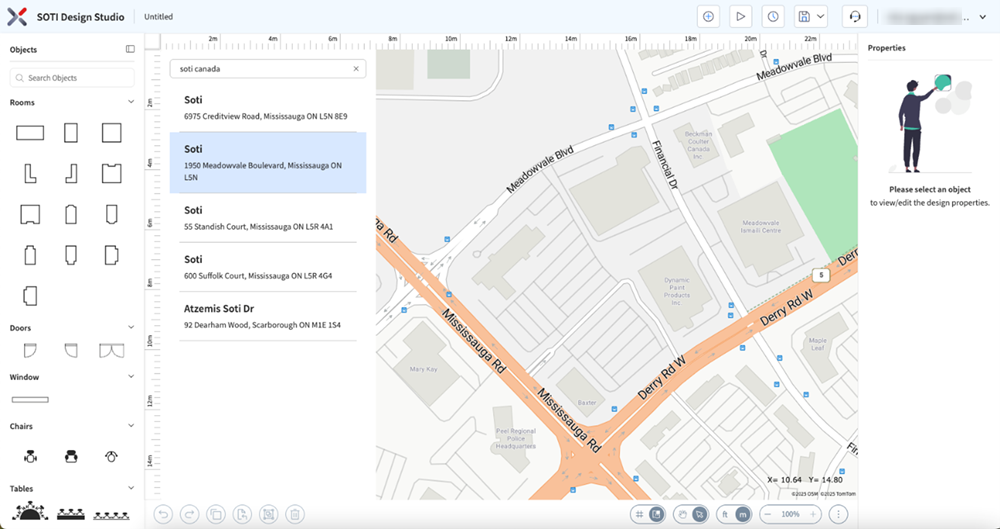
Select the building location.
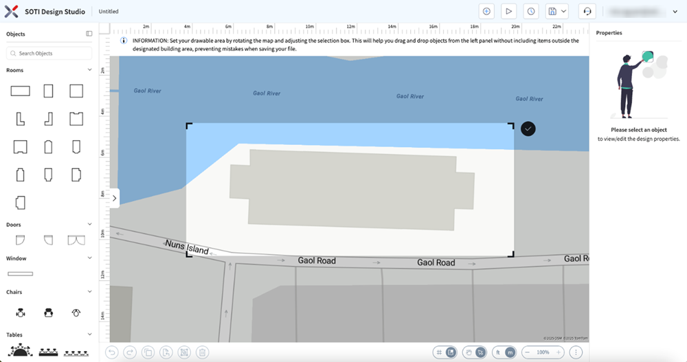
- Select the Constraint Area. This creates a focused drawable area for your design, preventing you from accidentally including items outside the designated building area, preventing mistakes when saving your file.
-
Select the Constraint Area. This creates a focused drawable area for your
design.
Note: Right-click to rotate the map. Use the mouse scroll wheel to zoom in and out.
-
Select the Check button on the top-right of the selected
area to confirm your selection. This confirms the selected area and you can
start tracing the outline of the building.
 Tip: Use Hide Grid and Disable Snap to Grid if your building lines are slanted. If you need to Edit the Constraint Area, select the Edit Map Constraints option. These options are available by right-clicking on the map to access the Context menu.
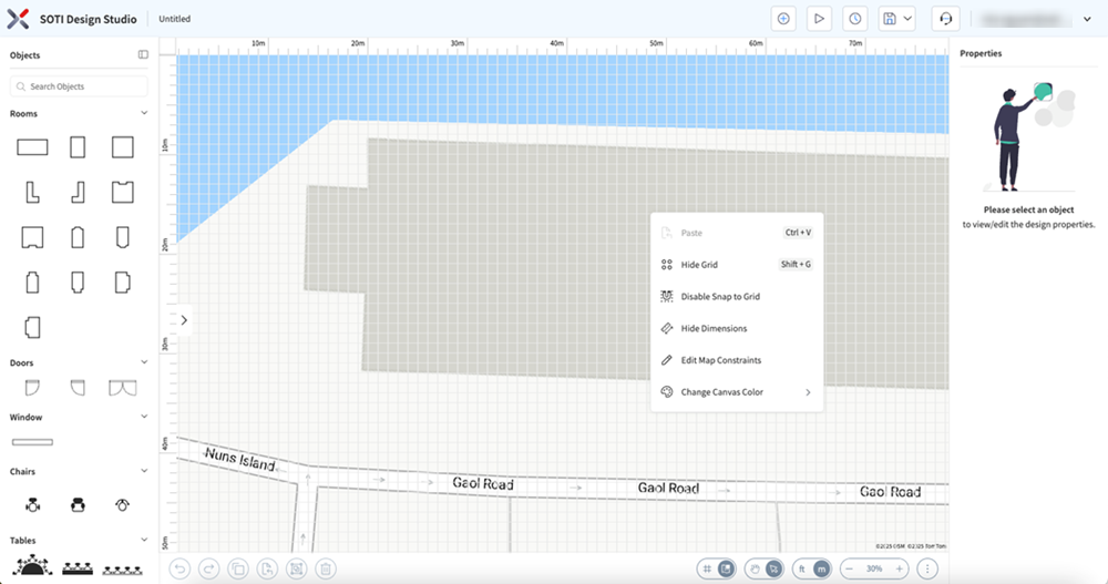
-
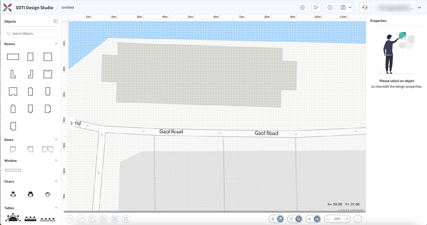
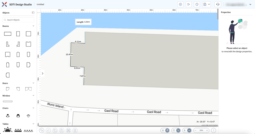
Trace accurate lines.
-
Accurately trace the building outline.
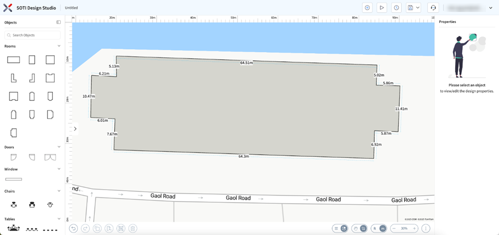 Tip: To pan across the screen when you are drawing a long line in a close-up zoom level, hold the space-bar to temporarily switch to Pan mode. (For example: the above 64m horizontal wall).
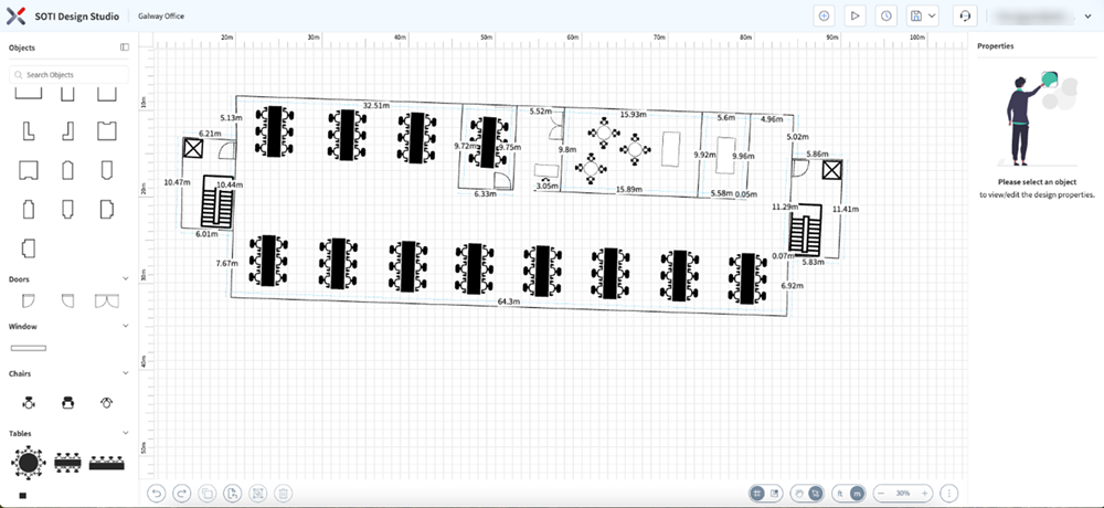
-
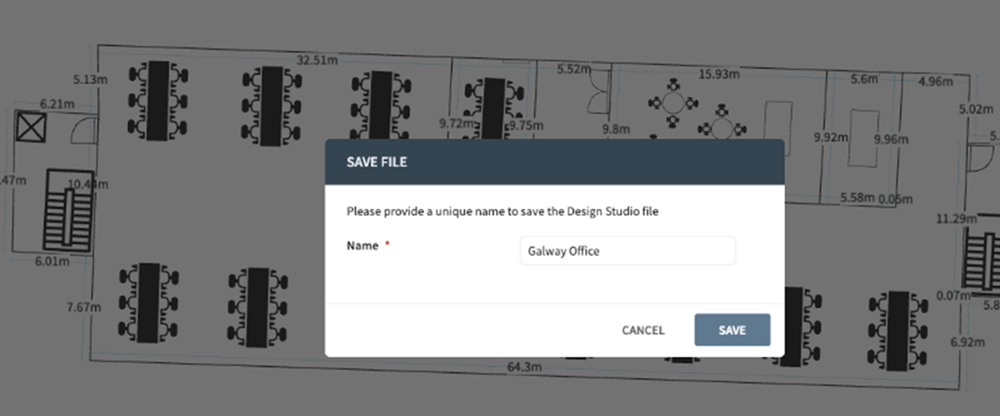
Select Save to save your design.