Working with Geofences
About this task
What Are Geofences?
-
Virtual boundaries: Geofences are invisible perimeters you define on a map—like drawing a shape around a building, city block, or entire region.
-
Location-based triggers: When a device enters or exits this defined area, SOTI MobiControl can automatically perform actions.
What are Geofences used for?
- Device Monitoring & Control
- Automatically relocate devices to different groups based on location.
- Trigger alerts or notifications when a device crosses a geofence boundary.
- Security Enforcement
- Restrict access to sensitive apps or data outside approved zones.
- Prevent unauthorized use of corporate resources when devices leave designated areas.
- Workforce Management
- Eliminate “buddy punching” by clocking employees in/out based on their device’s location.
- Track field workers or delivery drivers in real time.
- Safety & Training
- Send safety reminders or training videos when workers enter hazardous zones (for example, forklift areas or construction sites).
- Customer Engagement
- Retailers can push promotional messages to customers’ devices when they enter a store.
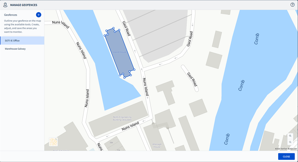
Viewing Existing Geofences
- The popup displays all previously defined geofences.
- Geofences are listed alphabetically (A–Z).
- Selecting a geofence highlights it on the map.
- Use the 3-dot menu beside each geofence name to:
- Rename the geofence
- Delete the geofence
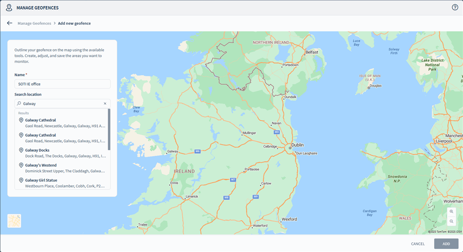
Creating a New Geofence
- Access the Manage Geofence display by following the steps in Accessing Geofences using Signal Policies or Accessing Geofences using the Lockdown Dashboard.
- Select Add Geofence.
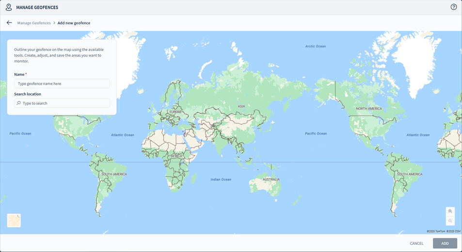
- Use the map tools to draw your geofence outline.
- A geofence must include at least 3 points.
- Names must be unique.
- Intersections are not allowed.
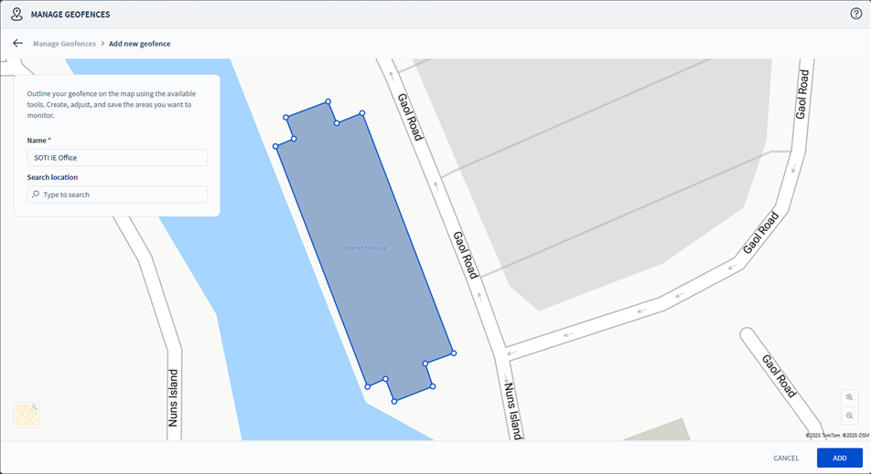
- Enter a name for your geofence.
- Select Save to confirm.
- The geofence is added to the list and selected.
- Refreshing the list applies A–Z sorting.
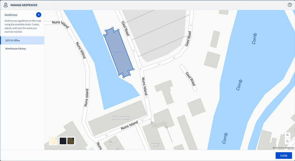
Map Tools
- Includes standard features like zoom controls and map type switching
(Satellite, etc.).
- Use the search bar to find the location to place your geofence.
Permissions
-
Only users with the 'Manage Geofences' permission can access this feature.
-
If you do not have permission, the Manage Geofences button is not visible.
Note: Other location-related permissions (for example, View
GPS Locations, Locate) do not affect geofence management.